Geocoding is the determination of geographic coordinates (longitude and latitude) from address data.
The geocoding function allows to transform the database containing addresses into a spatial database, i.e. a database enriched with geographical coordinates. The location defined in this way is necessary to visualize the data on a map, calculate the location potential, include data about the nearest surroundings of the address or determine the distance between addresses.
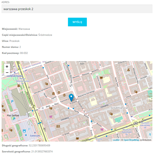
Example of geocoding using AlgoMaps.
Geocoding with AlgoMaps and its functionalities are described in detail on our blog.